|
|
| Aerial Observation in Cooperation with the NAMOS Project - May 2006 | ||
 |
AVI
(MSMPEG-4v2) MOV (MPEG-4) |
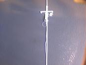
This sequence is from the downward-looking camera on-board the helicopter, shot during piloted flight over Lake Fulmor, near James Reserve (flight 1). |
 |
AVI (MSMPEG-4v2) MOV
(MPEG-4) |
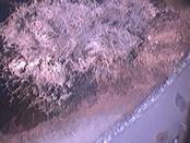
On-board camera footage, showing the rock wall next to the takeoff/landing area, and some reeds at the lake shore (flight 2). |
 |
AVI
(MSMPEG-4v2) 640x480 (26 MB) MOV (MPEG-4) |
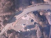
On-board camera footage, including a view of the road adjacent to the lake taken as the helicopter was turning for a second pass (flight 3). |
 |
AVI (MSMPEG-4v2) MOV (H.264) |
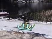
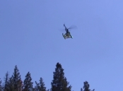
Video of helicopter in flight over the lake. |
 |
AVI (MSMPEG-4v2) MOV (H.264) |
Video of helicopter in flight over the lake. |
| Stereo-Based Obstacle Avoidance - November 2005 | ||
|
|
MOV (H.264) |
This clip shows the helicopter avoiding a palm tree using its onboard stereo vision system. The heli is given a GPS goal location on the far side of the tree, and must detect and avoid the tree in order to reach the goal. A sequence from the onboard camera is below. A GPS plot of the path taken is here. |
 |
MOV (H.264) |
This is a sequence taken from the onboard (left) stereo camera during the stereo-based tree avoidance flight. The right portion of the image shows the threshold depth image, and in the center of this image is a line indicating the command output. When the tree is detected within the turning threshold, it shows up in the depth image, and the control output shows the heli is turning away from it. |
| Autonomous Mote Deployment - January 2004 | ||
|
|
AVI
MOV (MPEG-4) |
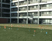
Autonomous deployment during autonomous flight. The heli flew autonomously to 40 GPS waypoints and deployed a marker at each point, forming a 5x8 grid at 2m intervals. Motes were placed where the markers fell, forming a network on the ground. |
 |
AVI
MOV (MPEG-4) |
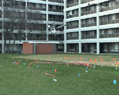
Autonomous Localization. After deploying the network of motes, the helicopter traversed the field a few times broadcasting GPS data to the motes, so they could localize themselves. This involved 4.5 minutes of autonomous flight while the heli passed through 10 GPS waypoints. |
 |
AVI
MOV (MPEG-4) |
Autonomous Network Repair. The network of motes was split to create two separate networks. The heli was used to deploy more motes along the split in order to repair the network. This involved autonomous flight and deployment at a number of pre-determined GPS locations. |
| Autonomous Vision-Based Landing - September 2001 | ||
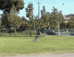
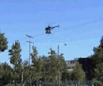
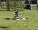
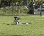
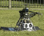
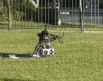
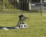
| In these clips, the helicopter first uses GPS to fly to the general vicinity of the helipad, and then vision is used to identify the helipad and track it during landing. | ||
 |
AVI MPG |
1st landing. |
 |
AVI MPG |
2nd landing. |
 |
AVI MPG |
3rd landing. |
 |
AVI MPG |
4th landing. |
 |
AVI MPG |
5th landing. |
 |
AVI MPG |
6th landing. |
 |
AVI MPG |
7th landing. |
|
webmaster Last modified: May 25 2006
|